UN
60 Sandy Lane
£ 52,000
Description
We don't have a Description for this property.
- Bedrooms
- 2
- Bathrooms
- 0


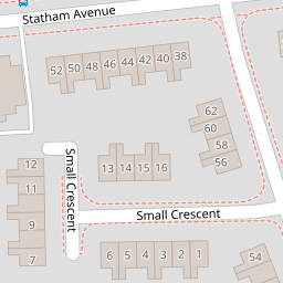
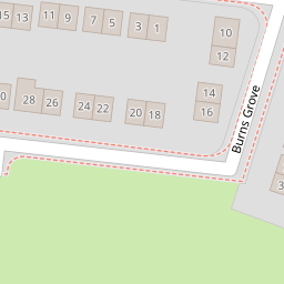
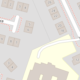

Leaflet © OpenStreetMap contributors
The heatmap indicates the level of crime in the area. The color of the heatmap indicates the crime severity and recency.
Metrics Year-on-Year
- Average area value
- 436,619.00 £Increased by 12.60 %
- Average area rental value
- 1,370.00 £/moIncreased by 52.39 %
- Est rental Yield
- 3.77 %Increased by 35.61 %
- Crime Rate
- 7.00 %Unchanged by 0.00 %
from 387,750.00 £
from 899.00 £/mo
from 2.78 %
from 7.00 %
Nearby Schools
| Name | Type | Ofsted | Distance |
|---|---|---|---|
| St Margaret'S Cofe Voluntary Aided Primary School | Voluntary Aided School | Good | 0.37 KM |
| St Andrew'S Cofe Primary School | Voluntary Aided School | Good | 0.57 KM |
| Beamont Collegiate Academy | Academy Sponsor Led | Good | 0.63 KM |
| Meadowside Community Primary And Nursery School | Academy Converter | 0.65 KM | |
| St Stephen'S Catholic Primary School | Voluntary Aided School | Outstanding | 0.66 KM |
Images
Nearby Streets
| Name | Average Price | Average Sqft | Distance |
|---|---|---|---|
| Sandy Lane | £ 170,000 | 0 | 0.00 KM |
| Tennyson Drive | £ 235,000 | 0 | 0.00 KM |
| Ruskin Avenue | £ 0 | 0 | 0.00 KM |
| Kipling Avenue | £ 0 | 0 | 0.00 KM |
| Keats Grove | £ 235,000 | 0 | 0.00 KM |
Nearby Transport
| Name | NLC | TLC | Distance |
|---|---|---|---|
| Warrington Central | 2390 | WAC | 2.43 KM |
| Padgate | 2387 | PDG | 3.04 KM |
| Warrington Bank Quay | 2384 | WBQ | 3.51 KM |
| Newton-Le-Willows | 2257 | NLW | 5.68 KM |
| Warrington West | 6583 | WAW | 6.33 KM |
Nearby Listings
| Address | Price | Type | Score | Distance |
|---|---|---|---|---|
| Tennyson Drive, Warrington, WA2 9BZ | £ 225,000 | BUY | 6 / 10 | 0.10 KM |
| Tennyson Drive, Warrington, Cheshire, WA2 | £ 160,000 | BUY | 6 / 10 | 0.11 KM |
| Statham Avenue, Orford | £ 185,000 | BUY | 7 / 10 | 0.14 KM |
| Ruskin Avenue, Warrington, Cheshire, WA2 | £ 290,000 | BUY | Unknown | 0.15 KM |
| Byron Court, Warrington | £ 220,000 | BUY | 7 / 10 | 0.16 KM |
Nearby Properties
| Address | Price | Distance |
|---|---|---|
| 60 Sandy Lane | £ 52,000 | 0.00 KM |
| 50 Sandy Lane | £ 50,000 | 0.00 KM |
| 58 Sandy Lane | £ 80,000 | 0.00 KM |
| 52 Sandy Lane | £ 72,000 | 0.00 KM |
| 54 Sandy Lane | £ 98,000 | 0.00 KM |